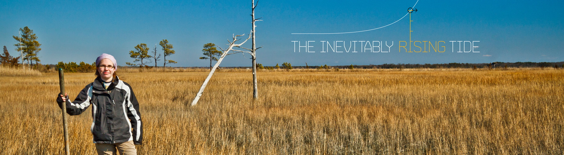
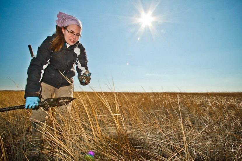
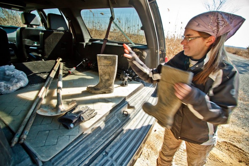
It’s a cold, blustery February day on the New Jersey coast, and Anna Jaworski is wading her way through a salt marsh that seems to go on forever. From where she stands, about 100 yards from the modest parking lot at the Jakes Landing-Dennis Creek Wildlife Management Area, one can look out and see almost nothing but marsh grass and dead trees in one direction, a thick coastal forest in the other and, in the distance, the waters of the creek itself.
In a lot of ways, the place feels like the middle of absolutely nowhere, which is hardly surprising: It basically is the middle of absolutely nowhere. But according to Jaworski, that desolate salt marsh and the forest that borders it may hold the keys to helping scientists understand just how much rising sea levels have impacted the Delaware Bay over the past few decades—and, more importantly, how much more land will be gobbled up by the rising waters in years to come.
Jaworski, a graduate student in the Department of Biodiversity, Earth and Environmental Science (BEES), has been working for two years to piece together a sort of historical record of sea level rise and salt marsh loss along the Delaware Bay, with the ultimate aim of gaining a fuller understanding of how sea level rise—which is a truly global issue—has manifested itself locally. The idea is to help officials in Delaware and New Jersey prepare for the widespread changes—and enormous land loss—that are bound to arrive in years to come, as sea levels rise at an ever faster rate.
Indeed, some scientists have projected that sea levels could rise by a staggering 19 inches by the year 2050. While that number sounds alarming—and it most certainly is, according to Jaworski—her aim is to put together a more clear and more accurate prediction for what will happen specifically along the Delaware Bay.
“We are seeing a substantial increase in sea level rise rates,” Jaworski says. “That’s starting to worry us. Sea levels have always changed, but this is very rapid. What we’re interested in with this project is the local relative sea level rise, so we know what will happen on the local level, so we can help people respond.” And if one thing is almost certain, it seems, it’s this: Those people will have to respond.
Or else.
“When Hurricane Sandy hit, the storm surged in some places about four meters, and we saw the damage that was done,” explains Ken Lacovara, an associate professor in the BEES Department. “Well, some people are talking about that kind of [sea level] being the reality on a nice, normal day in the year 2100.”

The doomsday scenarios are certainly out there: Entire coastal cities underwater, habitats destroyed, species pushed to the brink of extinction. One can certainly debate the causes of these changes, Lacovara says, but what one can’t deny is that the changes are happening, and will continue happening. Coastal communities worldwide will be challenged by these changes, and will need to adapt.
The only question is, “How?” and, “How much?”
That’s where Jaworski’s work comes in. And it is dirty work, indeed.
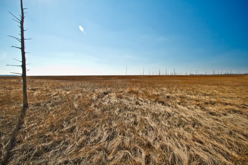
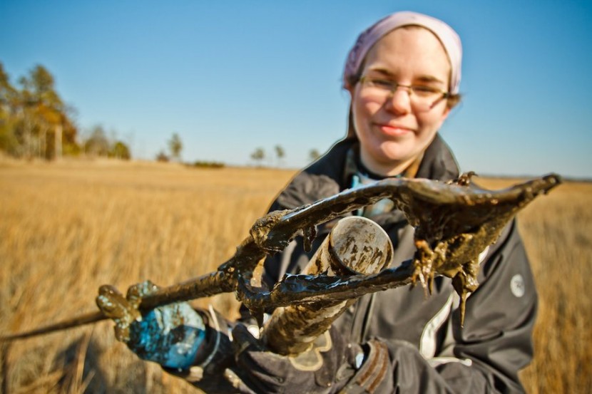
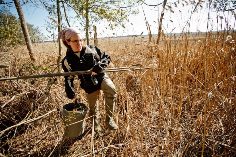
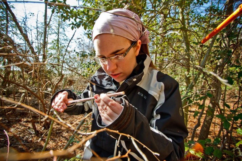
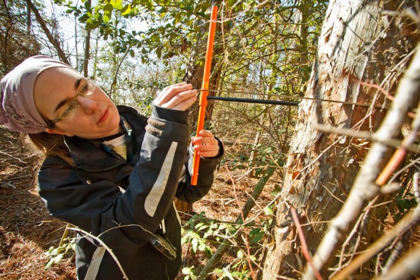
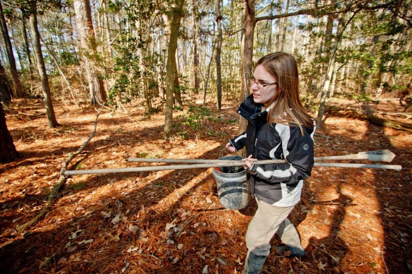
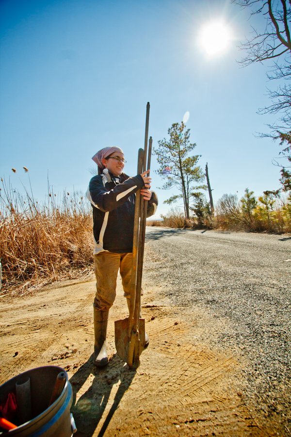
To compile the data she needs for her project, which was funded in part through a grant from the DuPont Foundation, Jaworski needs to make regular trips down to places like Jakes Landing, where she spends hours engaged in one of two activities: Hacking her way through the woods to gather core samples from trees in the nearby forest, or sloshing her way through the salt marsh to extract peat cores from the marsh floor. Each sample holds different clues to the climate, past and present, of the area.
“With all of these dead trees, what we want to figure out is when the tree died,” she explains. “That’s important because the year of death directly corresponds to when it was inundated with water.”
Specifically, Jaworski targets eastern red cedars, a type of tree that just so happens to be incredibly rot-resistant. An eastern red cedar inundated with water might die rather quickly, but it can remain standing for decades afterward. And indeed, the marshes around Jakes Landing are peppered with dead cedars; by coring both those trees and living ones nearby, Jaworski is able to not only understand how far and how fast the water has risen, but also better understand how the climate has impacted the area in other ways.
“Those tree rings are basically the recording of the climate of that entire year,” she says. “The rings change in size based on any number of conditions—if you have better conditions, you have better growth. One of the reasons we’re particularly interested in this is that we’re seeing more storms, unfortunately. Hurricane Sandy was a horrible event, but it really woke people up to the problem. The question isn’t whether we can rebuild. It’s whether we rebuild at all. Or, at least, how close [to the coast] do we let people rebuild?”

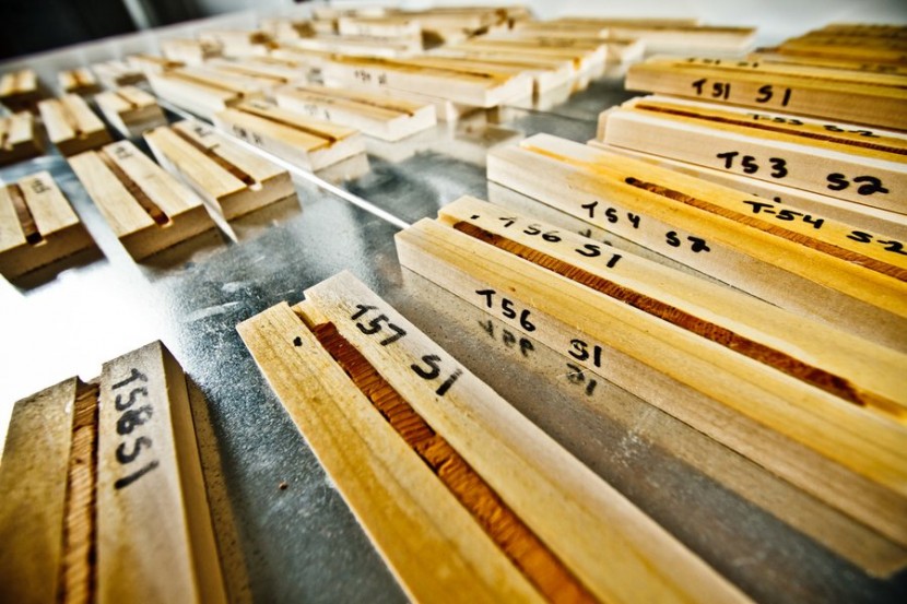
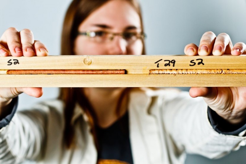
COUNTING_RINGS
Jaworski holds a sample mount containing several tree core specimens. Each core specimen will be cut in half and studied to determine the age of each tree and the year it dies.
Such questions have been asked with greater frequency recently thanks to a series of natural disasters that have made clear the risks of building large cities along flood-prone areas. Hurricane Katrina almost completely devastated New Orleans in 2005, of course, but it was Hurricane Sandy—a storm that struck the Northeast with devastating force—that may have really put the issue on the map. Sandy not only left millions of people in the Northeast without power, but also left some coastal communities— including some in New York City—completely under water. In that storm’s wake, politicians in storm-stuck areas like Hoboken, N.J., were left to consider such radical ideas as sea walls to help prevent a recurrence in future storms.
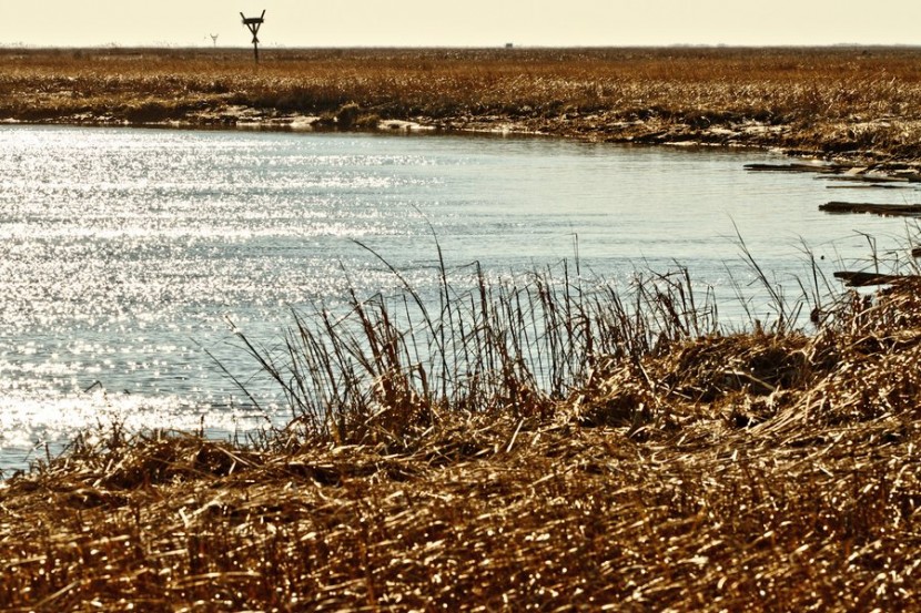
Along the Delaware Bay, and in sparsely populated areas such as those surrounding Jakes Landing, the impact of Sandy and other storms hasn’t been quite as dramatic. But as Jaworski has already proved, huge swaths of land have been swallowed up there anyway—it’s just taken a few decades for it to happen.
 _PHOTO_GALLERY ENLARGE
“All of the stuff that scientists have been warning everyone about since the 1980s related to climate change and sea level rise—well, it’s happening,” Lacovara says. “You can walk about and see a drowned forest and see that it’s happening. This stuff is real. I get frustrated when I see people in the media debating whether it’s happening. I mean, sea levels could not possibly have risen if the world was not getting warmer. We know for 100 percent certain that sea levels are rising. Therefore, we know the Earth is warming.”
With that debate settled, then, the next steps are obvious: Planning for a wetter, warmer future.
That’s where researchers like Jaworski come in, Lacovara says. She, and others like her, are making a global issue understandable on a local level.
“Scientists don’t always do a great job of communicating to the public,” Jaworski says. “And that’s why a big part of this project is about outreach. It’s about getting the information out to the people who live there.”
“Things are changing,” she adds. “We can’t stop them. We either have to adapt to them, or that’s it. If we don’t think ahead, we’re just going to have more problems.”